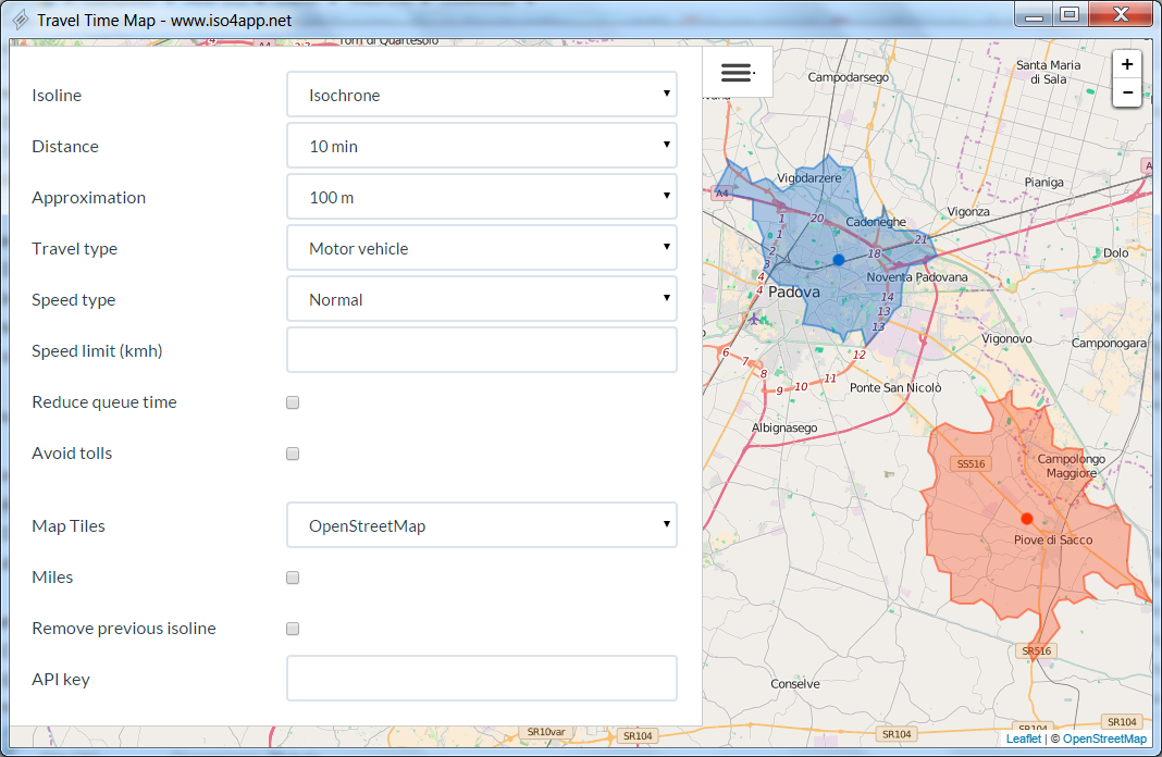
TravelTimeMap 64-bit screenshot

Travel Time Map. This software allow you to show Isochrones and Isodistances polygons. Support for walk, car, bike isolines. Predefined speed levels and customizable speed value. Flags to reduce queue time and avoid tolls.
| Download TravelTimeMap Add to Download Basket |
« BACK
