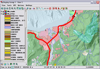
TNTmips 64-bit screenshot

TNTmips software is a complete Geographic Information System (GIS) that lets you work with virtually any type of geospatial data including imagery, terrain surfaces, and map data with associated database attributes.
| Download TNTmips Add to Download Basket |
« BACK
