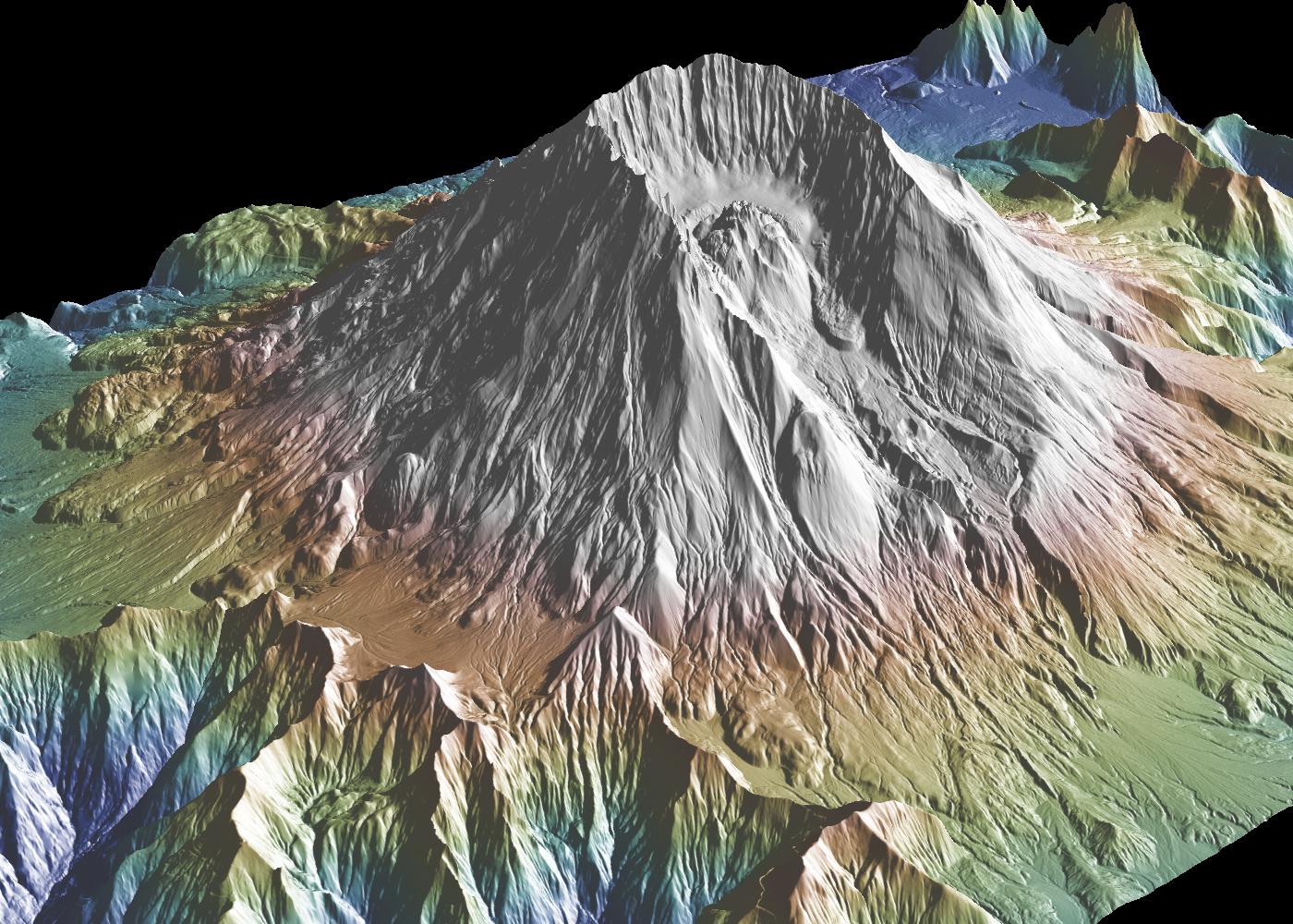
GeoMapApp 64-bit screenshot

GeoMapApp is an earth science exploration and visualization application that is continually being expanded as part of the Marine Geoscience Data System (MGDS) at the Lamont-Doherty Earth Observatory of Columbia University.
| Download GeoMapApp Add to Download Basket |
« BACK
